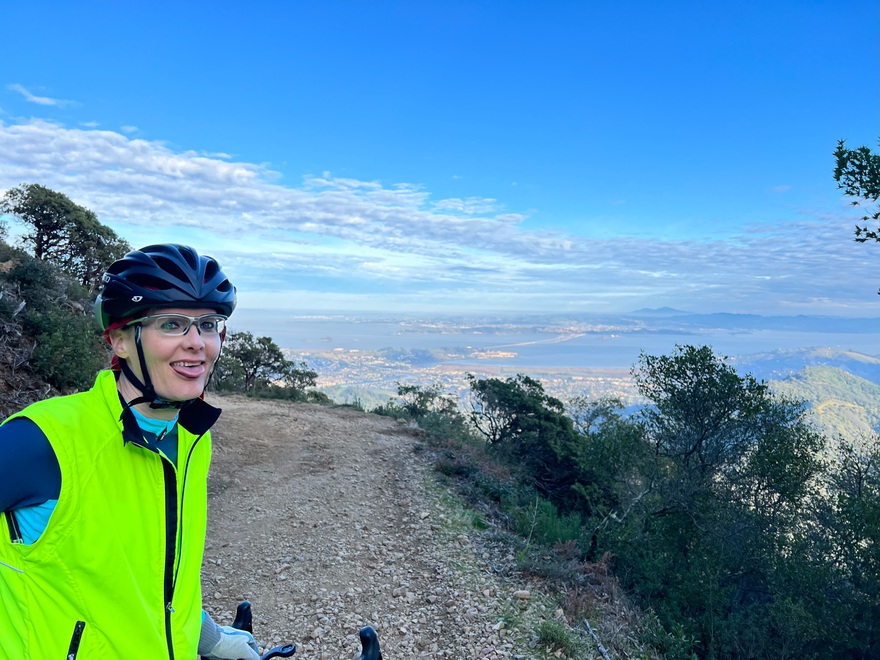
Wow. OMG. Words. Just had the insanely ambitous and most fun bikeride I’ve had in 15 years! While I’m zero-ing in on what gravel bike to buy, Hunter let me borrow his 3T Exploro Racemax new gravel bike for a ride together on a 3-day weekend. I shot for the moon – “let’s go up Mount Tamalpais (if I even can) and try to get down the other side and ride around back to the start”. About 30 miles. I haven’t been off-road, really in 25 years (with brief exception of college reunion mountain biking in Sun Valley, ID, in Sept., with my college ‘mates). Will she make it? Will she crash? And OMG how big are those rocks in the “trails” after rerouting from goole maps fail?!
Did I mention over 3000 feet of all offroad climbing, with most of the total miles offroad?
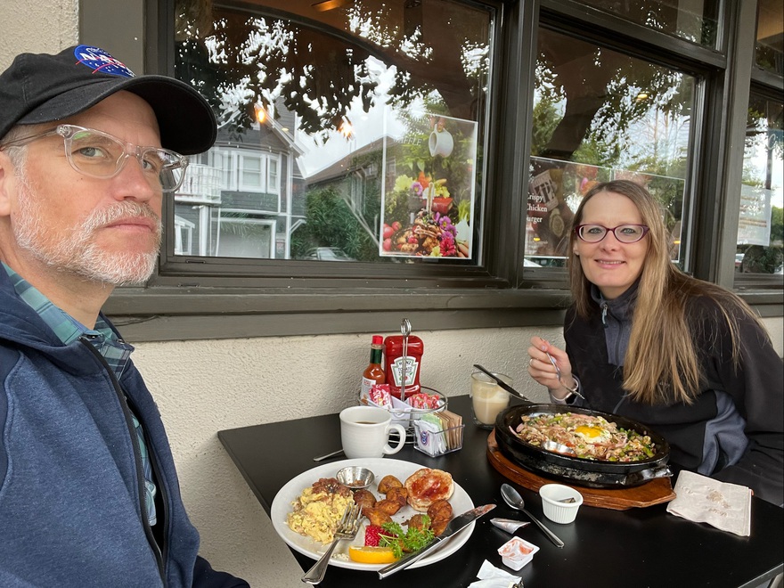
Let’s start the day right - my favorite brunch of bibimbap at Kitchen Sunnyside, Mill Valley, forgoing my favorite soju-based bloody mary for a “doping” full-strength latte ;-)
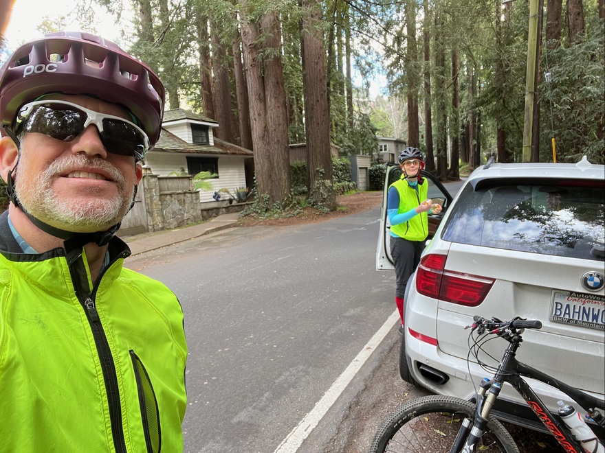
Gearing up in the Redwoods - let’s do this!
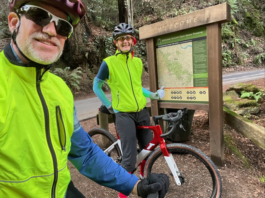
Grinning ear-to-ear – entering “Old Railroad Grade Fire Road” and get to try out the chunky tires 3T gravel bike and see how I can do uphill :)
So far, so good. Not a cakewalk, but geez this bike is capable climbing!
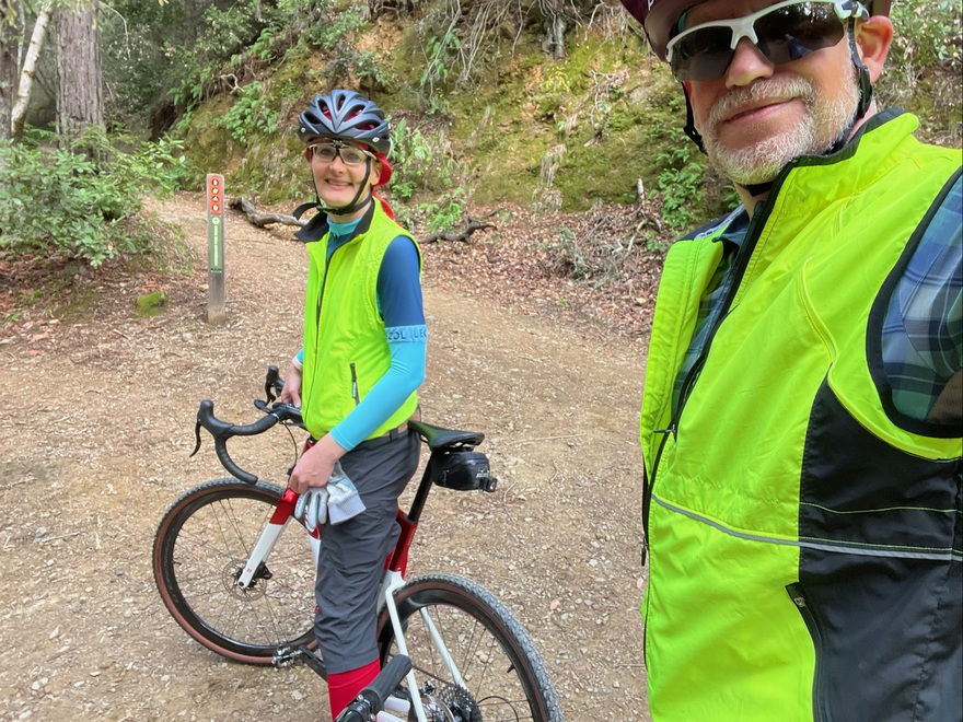
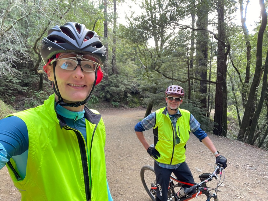
Woohoo! Arriving at the section I’ve hiked a few times before and know well. View is getting bananas and I’ve got lots of energy to go.
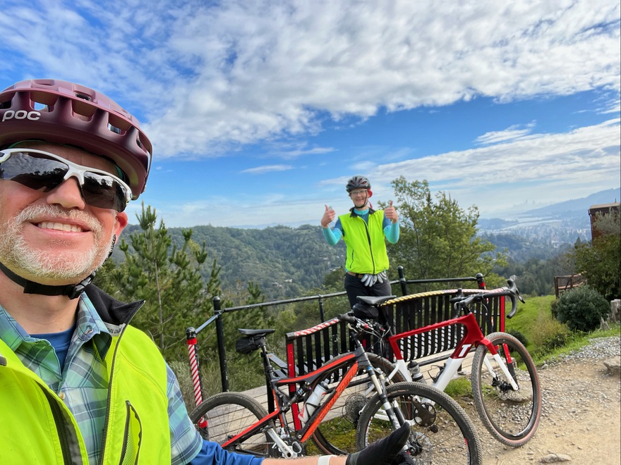
The sky and scenery is so amazing. Brushing 70F degrees in the sun, almost no wind, in january :)
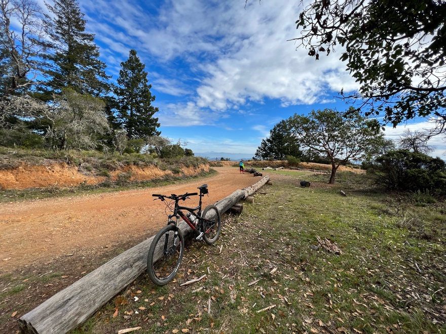
Pretty sizeable loose rocks is the norm all the way up.
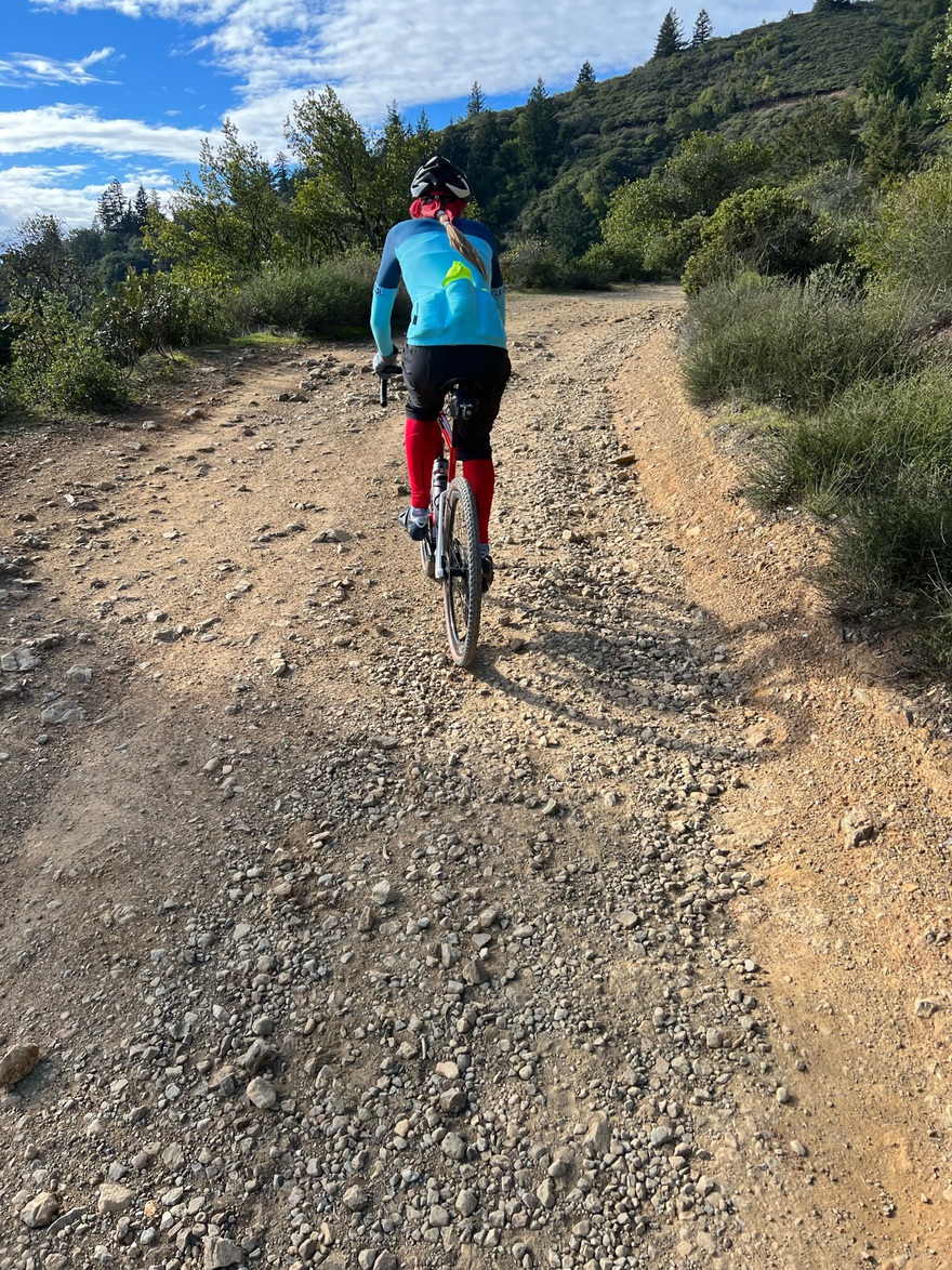
We just hit legendary West Point Inn – only accessible to hiker and bikers. It’s the furthest I’ve been up Mt. Tam (only hiked once 25y ago, alternate ascent) – so am eager to see what remains.
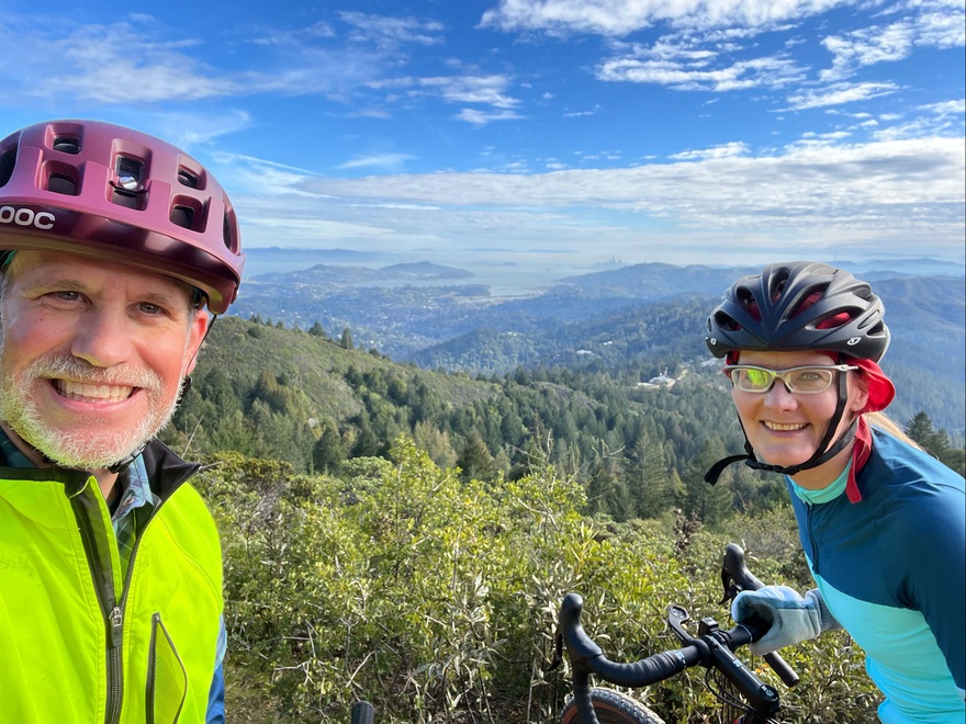
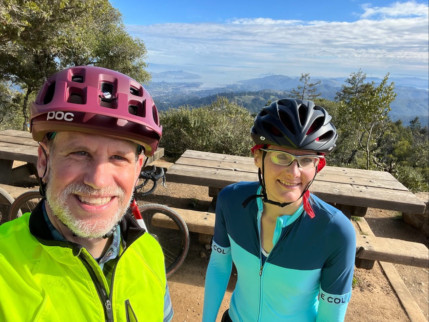
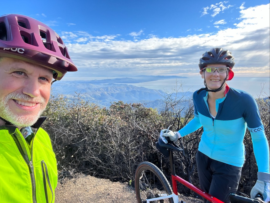
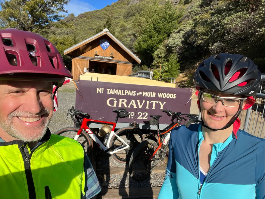
We did it! Hit the peak and the “Gravity Car” awesome display with historical photos of the amazing “the car glides down with a brake lever and that’s it” railroad that used to be here (and what we just biked).
Planning our descent. Heading to Lake Lagunitas over my left shoulder. We had to improvise a bit to get to “Eldridge Grade” from the top, after google maps directed us to somewhere impossible.
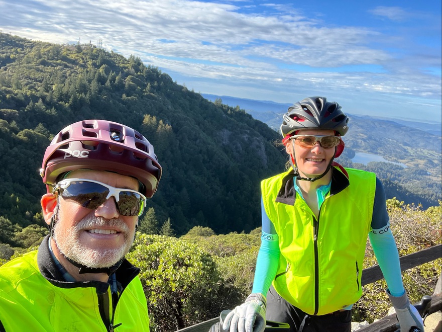
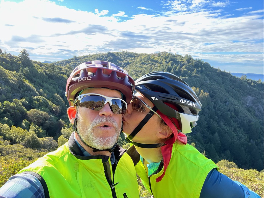
Thanks baby! I am so soooo happy today and getting such a great way to really try out a gravel bike!
Eldridge Grade was a bee-yatch! Holy crap, from the start, we had to walk a couple hundred feet of impassable, terrifying descents. And it didn’t get much better. I was clamped, horrified on the brakes, trying desperately to not fall hard left or right and crash into huge rocks, boulders, and loose all over the place. I had no idea it would be this bad! Thankfully, we finally made it to some fire roads that were much more doable. Still very challenging, but by then, I had figured out how to get into the “drops” on the handlebars, descending more like a cat on all fours. You smooth the bumps out with your arms and legs, letting the rest of your body float and barely touch the seat. And your hands have 10 times more braking power.

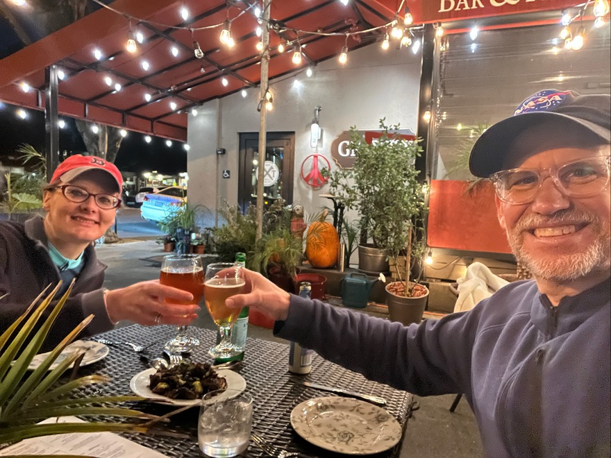
Celebratory beers and apps in Mill Valley! I can’t believe we did it and we didn’t crash or get hurt. It was super dicey, requiring absolute concentration in the first 45 minutes (maybe half) of the descent. I’m so impressed by what gravel bikes can do these days!
Here’s what I would recommend to avoid the brutal downhill upper part of Eldridge Grade – and can’t wait to do next!
Gotta go get my own gravel bike!




Comments
Hunter
tracey pooh
I updated the maps from nonideal google maps to alltrails.com (basically, it’s very hard to plot an exact course w/ google maps especially once you want more than 10 specific points to ensure the exact path is displayed).
alltrails lets me easily create an exact path of the route we did, and the one i really want to do next!