
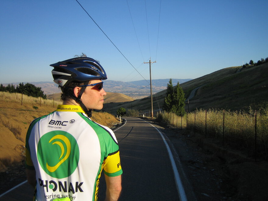
This ride is EPIC!! This is our most loved (as well as the most remote) ride in our history of riding the area for over 5 years now.
This time we’ll probably be hitting near the peak of flowering/green season so it is bound to be gorgeous! (As of Thursday, there is a chance it could be a bit overcast/cooler than ideal. However, weather.com is showing “mostly sunny” with a high of 67F in clayton right now. So be prepared for watching the weather so you don’t end up too cold and layer up!)
It most definitely has harder and rougher terrain than the hardest day of an ALC route, but isn’t as long as an ALC day (though it’s close.)
PLEASE MAKE TO SURE TO BRING MORE LAYERS AND FOOD THAN NORMAL!
From Hunter the Wise:
It’;s an East Bay Classic, and it’s one of our favorite rides, and we did it the first time 4 years ago. Here is a link from my report about that first time on roadbikereview.com:
http://forums.roadbikereview.com/showthread.php?t=4520
Tracey has pix of that and other times we’ve done it here:
https://archive.org/~tracey/album.htm#morgan%20territory
https://archive.org/~tracey/album.htm#biking
This is around a 70+ mile ride of VERY long hill climbing and descending (literally up to an hour or more of climbing with 15 minutes of high speed descending). There can additionally be some strong headwinds and crosswinds in the outskirts of Danville after the climbing and descending is all over and we are returning to civilization.
Essentially, its riding your bike around and to the backside (Eastern side) of Mt. Diablo via the cites of Walnut Creek and Clayton, then making your way back west to Danville, and up Danville Blvd (typical Cafe Francaise in reverse portion…) to Walnut Creek.
Here is the Diablo Cyclists Route Sheet
(but note their ride is about 10 miles shorter as they start/stop from Walnut Creek).
CHALLENGE: heavy climbing and high speed descending
BRING: double water bottles, and double food (you’ll need to feed at the top of the route. There is water and restrooms at top of Morgan Territory, but no food). You should have some extra clothing/layers for wind on the descent and sunblock.
REGROUP POINT: before the major climb in the tiny town of Clayton, there is a convenience store in the old town where you can get some food. There are also public drinking fountains and restrooms in the town square park. We well regroup there. You can’t miss the convenience store. Google Map of Clayton
REGROUP POINT: Top of Morgan Territory climb, Morgan Territory Regional Preserve: (water, restrooms)
REGROUP POINT: Intersection of Morgan Territory Road and Manning Road (all the descending is done). We’ll turn right here onto Manning, and ride back into civilization (Danville) with gorgeous farm land/grassland views.
POTENTIAL STOP: Danville cafe of your (our) choice, but lets make it short. It’s good to know, however, that one can get food and drinks here if you need it.
From Danville take Hillgrade Avenue over to Tice Valley, to Olympic, to Pleasant Valley, and back to Mt Diablo Blvd to Orinda BART (reversing our path.)


Comments
tracey pooh
tracey pooh
Ride Stats:
12 riders (3 were leaders — thanks Chuck!!)
Finish times range: ~6 hours, 10 minutes to ~8 hours, 30 minutes
We had 1 flat near the end (once again to Hunter).
We had 2 riders get severe “jump-off-the-bike-in-pain” cramps in the calves and hamstrings. It was a longer and tougher ride than they were used to and it’s possible food and electrolytes may have added to that. They rallied after large late lunches (with bananas and electrolyte drinks!) in Danville and were able to avoid bailing out early. A+ for persistence and effort!